
GIS-RS Training: Addressing Climate Change, Enhancing Crop Productivity
 Familiarization and utilization of Geographic Information System and Remote Sensing (GIS-RS) technology has played a significant role in research and development especially in agriculture. Geographic Information System (GIS) is a computer-based tool for mapping and analysing things that exist and events that happen on earth. Performing tasks using this technology is better and faster than the old manual methods since it incorporates spatial data, managesanalyses and answers spatial questions. Remote sensing (RS), on the other hand, is an efficient method of collecting and analysing information about an object, area or phenomenon without making physical contact with it.
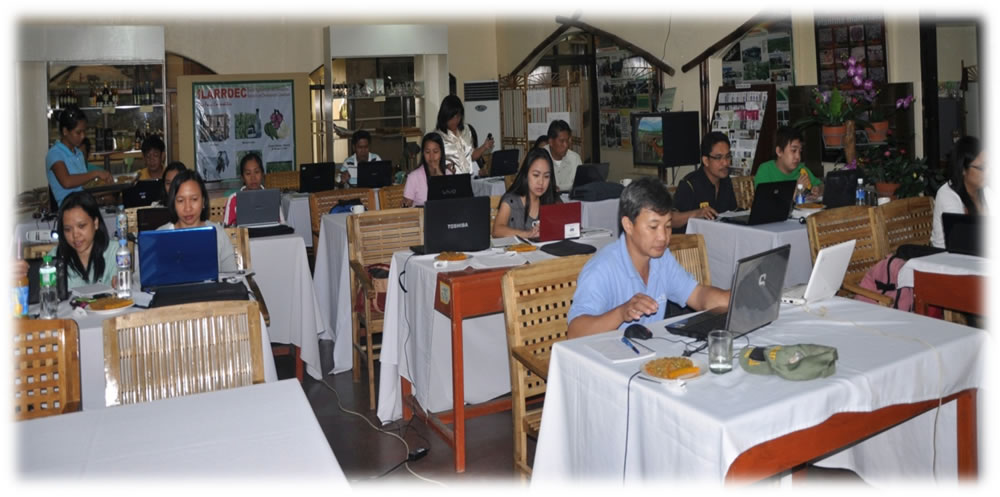
With the cutting edge advancement of this technology, MMSU hosted a 6-day event on April 24 to May 1, 2013 titled “Training-Workshop on Satellite Remote Sensing and Application” was conducted at One-Stop Information Shop, Crops Research Laboratory. Together with faculty and researchers from Philippine Rice Research Institute-Batac andpartner SUCs namelyUniversity of Southern Mindanao, Isabela State University, Palawan State University, Visayas State University, Bicol University, the eventaimed to build a pool of regional experts on GIS and remote sensing who will collaborate with MMSU in harnessing geospatial and remote sensing technology and system modelling as platform of addressing climate change issues as well as improving crop productivity through precision farming. Eighteen professionals (18) from SUCs and other government agencies, including MMSU researchers participated in the event. Lectures, hands-on exercises and field works were included in the training-workshop.
Three GIS-RS experts led the training-workshop.Dr. Josefino C. Comiso is a leading senior scientist from the National Aeronautic Space Administration (NASA), Cryospheric SciencesBranch, NASA Goddard Space Flight Center. Dr. Gay Jane P. Perez, on the other hand, obtained her post-doctoral in remote sensing at NASA, under the supervision of Comiso, and is working as an Assistant Professor at the University of the Philippines. Dr. Nathaniel R. Alibuyog is a leading expert in GIS and crop modelling application in the region and the current Director for Research and Development at Mariano Marcos State University.
Participants from the different SUCs and agencies were encouraged to conduct case studies as an application of the training to enhance their knowledge in crop modelling. These include: 1. Predicting rice yield from remotely sensed data in Ilocos Norte (PhilRice and MMSU), 2. Derivation of optimal cropping calendar in region XII using Aquacrop water productivity model and remote sensing technology (University of Southern Mindanao), 3. Harnessing the potential of remote sensing and GIS applications: An assessment of soil erosion and sediment yield vulnerability of Cagayan River basin (Isabela State University), 4. Satellite Remote Sensing application in Fisheries (Palawan State University), 5. Near-real time mapping of round-scad specie in Camotes Sea using MODIS data (Visayas State University) and 6. Inventory assessment and monitoring of forest resources in the Bicol region using remotely sensed data (Bicol University).
With these in the works, the use of Geographic Information System and Remote Sensing and trained experts from different agencies will surely offer practical solutions for agriculture like mapping areas under irrigation; predicting its yield and identifying crop health so that farmers can increase productivityand provide real-time access to end-users and decision makers. Written by Ma. Leoneza B. Rigonan
Recommended News
MMSU researcher wins national award using remote sensing technology
Dr. Nathaniel R. Alibuyog of MMSU racked up another honor to his growing list of awards. His research paper, together with Dr.Dionisio S. Bucao and Engr. Juanito M. Maloom Predicting rice yield from ....
MMSU, Geodatahost 1st RegionalGIS Roadshow
MMSU successfully concluded the 1st Regional GIS Roadshow in partnership with Geodata Systems Technologies highlighting information on recent technological developments on GIS platform and providing ....